Outline Maps of Canada and Provinces
Outline maps are always useful, but take a lot of time to find. Here we have a collection of printable maps for your students. We’ve done the legwork – yours to enjoy.


Outline maps are always useful, but take a lot of time to find. Here we have a collection of printable maps for your students. We’ve done the legwork – yours to enjoy.
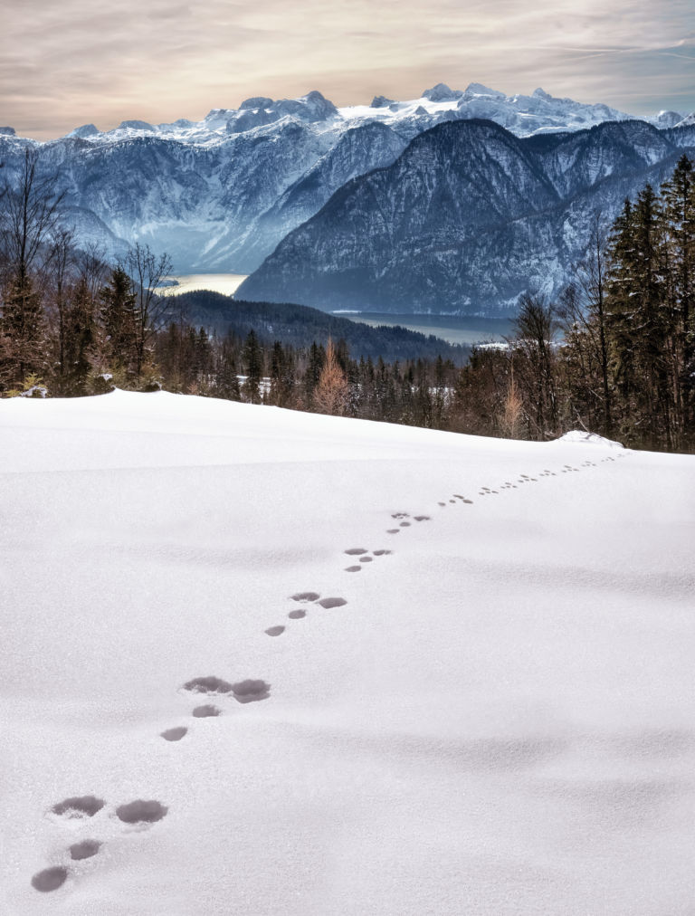
Looking at animal tracks gives children a chance to observe, question, and think critically about what they see. Tracks present a mystery which piques curiosity and begs an answer. Looking for animal tracks is a great opportunity to turn off the devices and enjoy the outdoors while combining science and geography with investigation and inquiry….
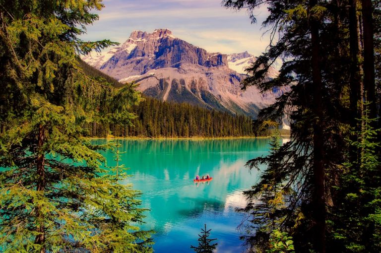
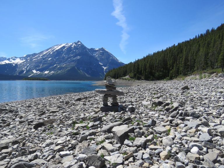
Explore the Yukon with the adventure, mystery and story it brings! The Yukon, Canada’s northwest territory, is wild, mountainous and still a vast underpopulated wilderness. Canada’s highest peak, Mount Logan, glaciers, wild ice aqua rivers and trails are part of the mystique of this storied land. Dawson City Sourdough The Dawson City Historical Complex commemorates…
Over the centuries, many different ways of representing the round Earth on flat paper have been developed. Each of these methods is referred to as a map projection. Imagine wrapping a rubber ball with a sheet of paper. No matter how hard you try, you can’t get the paper flat. That’s the problem with making…
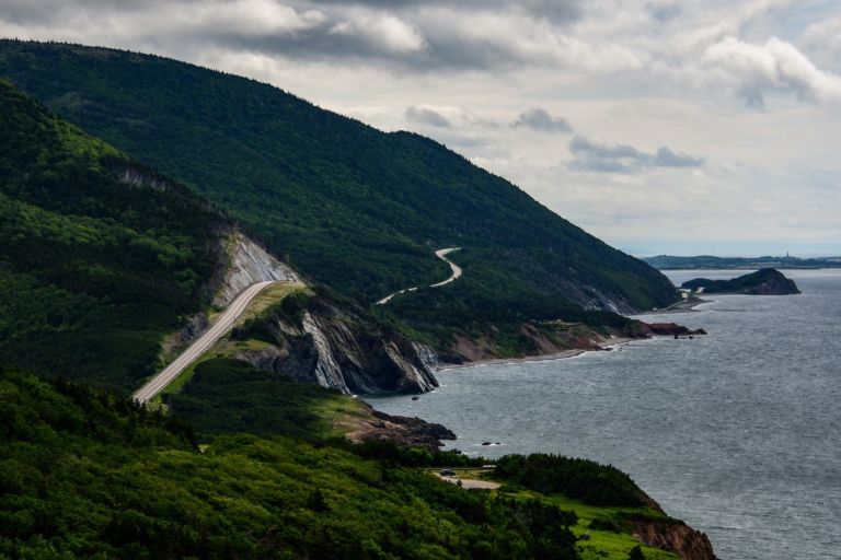
Nova Scotia is one of Canada’s three Maritime Provinces, and one of the four provinces that form Atlantic Canada. Nova Scotia, which includes Cape Breton Island has over 3,800 coastal islands and a whopping 13,000 plus km of coastline. You can see why most of the population lives and works in a coastal community. The sea…

Loyalists who came by land to Quebec and Ontario brought their belongings in covered wagons. Click on the button below for printable craft instructions for a Covered Wagon Craft made with craft supplies around the house. Bonnets – In New France, women and girls wore coifs or caps all the time. Different caps were…
Nunavut is the newest, largest, and most northerly territory of Canada. It was separated officially from the Northwest Territories on April 1, 1999. Nunavut comprises a major portion of Northern Canada, and most of the Canadian Arctic Archipelago. Its vast territory makes it the fifth-largest country subdivision in the world, as well as North America’s…