If You’re Not From the Prairie (HC)
$19.95Beautiful illustrations with poignant text for those who know, or wish they knew what it is like to live on the prairies. This is a picture book for all ages…one of our favourites!
- 32 pages
- Ages: 5-7
Showing 13–24 of 58 results
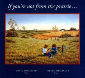
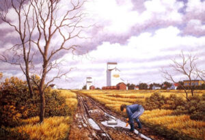
Beautiful illustrations with poignant text for those who know, or wish they knew what it is like to live on the prairies. This is a picture book for all ages…one of our favourites!


Beautiful illustrations with poignant text for those who know, or wish they knew what it is like to live on the prairies. This is a picture book for all ages…one of our favourites!
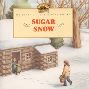
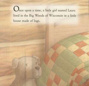
With this illustrated adaptation from the beloved Little House series, the youngest readers can share in the joy of Laura Ingalls Wilder’s beloved classics.
In Sugar Snow, Laura is delighted when a soft, thick snow falls in late spring in the Big Woods of Wisconsin. A late snow helps the trees make more sap for maple syrup, and maple syrup means sweet sugar cakes and sticky fingers for Laura!
Doris Ettlinger’s full-color illustrations are based on Garth Williams’ classic artwork.
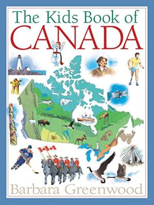
The Kids Book of Canada is a trusted, beautifully illustrated introduction to the people, places, and stories that shape our country. Designed especially for young readers, this engaging reference brings Canada to life with clear explanations, fascinating facts, and vibrant visuals that invite curiosity and discovery.
Updated to reflect modern Canada, this bestselling classic explores geography, history, Indigenous peoples, government, culture, and daily life from coast to coast to coast. Perfect for classrooms, libraries, and home learning, it supports school curricula while remaining accessible and enjoyable for independent reading.
An essential Canadian resource for kids, The Kids Book of Canada helps young readers understand where they live—and why it matters.
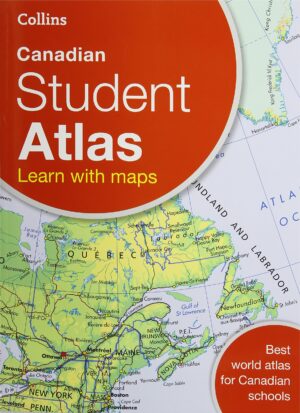
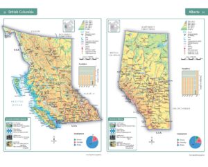
This atlas specifically for middle grades is a perfect transition between the child’s atlas and an adult atlas.
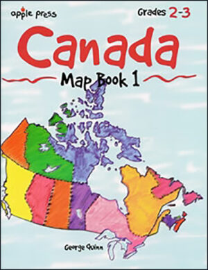
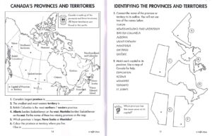
Introduce students to Canada through maps and map activities. Self-directed workpages to teach map skills and Canadian geography.
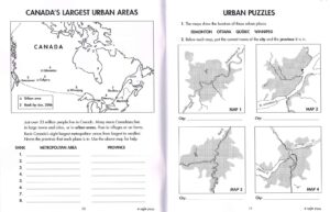
This reproducible activity book contains a variety of maps of Canada, designed to help students in Grades 3-4 learn to master basic map skills while gaining a better understanding of Canadian geography.
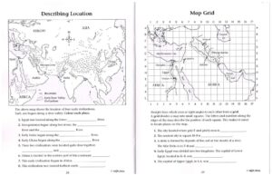
The third in a series of activity books designed to develop map skills, this easy-to-use book introduces special language of maps and includes over 40 thoughtful activities. The activities are organized in a sequential progression around four general skills involving shape, symbols, direction and position and scale. Through a variety of activities based on provincial social studies curricula, the broad map understandings are subdivided into more specific map skills. Each activity develops one or more new skills to provide an efficient and logical way for students to learn to use maps.
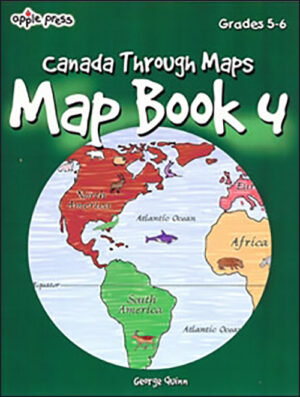
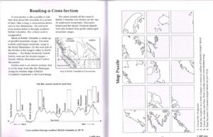
The fourth in a series of popular activity books designed to develop map skills, Map Book 4 contains 40 lively activities to help grades 5 to 6 readers develop and apply four fundamental map skills:
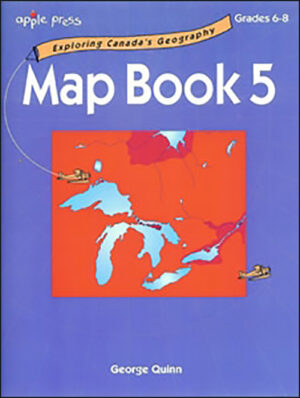
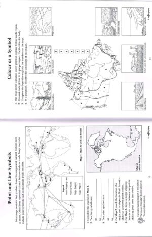
The activities in Map Book 5, designed for grades 6-8 readers, build on those skills developed in Apple Press Map Book 3 & 4. The topics utilize a variety of thematic maps relating to Canada’s physical and cultural geography.
Reproducible
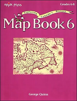
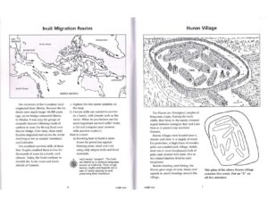
Maps used in this book highlight Canada’s exploration and settlement history from the migration of the First Peoples to the creation of Canada’s newest territory, Nunavut.
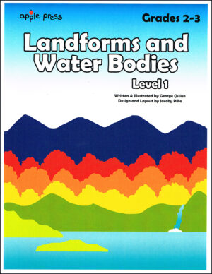
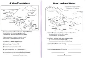
Twenty two activities include student answers, cut-outs and a quiz; perfect for a primary level teaching unit! The many three-dimensional drawings and simple maps will help grade 2-3 readers visualize earth’s most common natural features.
You can see how this popup was set up in our step-by-step guide: https://wppopupmaker.com/guides/auto-opening-announcement-popups/