Canada Map Book 1
$13.99Introduce students to Canada through maps and map activities. Self-directed workpages to teach map skills and Canadian geography.
- ISBN: 9781897319093
- Author: George Quinn
- 40 pages
- Ages: 6-9

Showing 1–12 of 24 results

Introduce students to Canada through maps and map activities. Self-directed workpages to teach map skills and Canadian geography.

This reproducible activity book contains a variety of maps of Canada, designed to help students in Grades 3-4 learn to master basic map skills while gaining a better understanding of Canadian geography.

The third in a series of activity books designed to develop map skills, this easy-to-use book introduces special language of maps and includes over 40 thoughtful activities. The activities are organized in a sequential progression around four general skills involving shape, symbols, direction and position and scale. Through a variety of activities based on provincial social studies curricula, the broad map understandings are subdivided into more specific map skills. Each activity develops one or more new skills to provide an efficient and logical way for students to learn to use maps.

The activities in Map Book 5, designed for grades 6-8 readers, build on those skills developed in Apple Press Map Book 3 & 4. The topics utilize a variety of thematic maps relating to Canada’s physical and cultural geography.
Reproducible
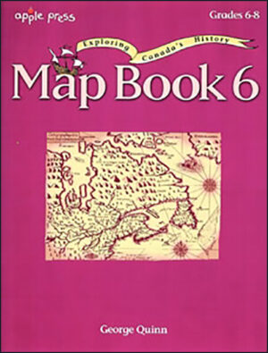

Maps used in this book highlight Canada’s exploration and settlement history from the migration of the First Peoples to the creation of Canada’s newest territory, Nunavut.
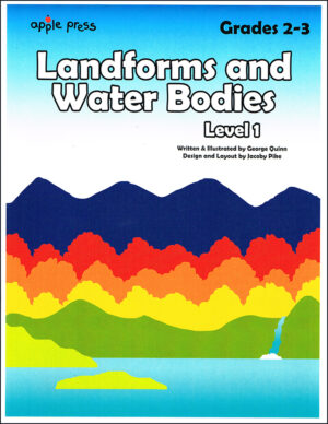

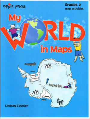
Twenty two activities include student answers, cut-outs and a quiz; perfect for a primary level teaching unit! The many three-dimensional drawings and simple maps will help grade 2-3 readers visualize earth’s most common natural features.
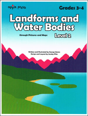

This activity book is designed for grades 3-4 students. The numerous three-dimensional drawings and simple maps are to help young learners visualize and recognize common landforms and water bodies. Reinforcement activities, review quiz, and answers are included.
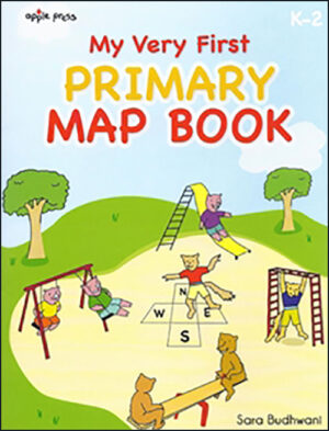

This reproducible map book is perfect for young children and introduces shapes, symbols, position and direction.
It teaches beginner readers the ABCs of maps. Imaginative topics will appeal to young children with cartoon-like animals and fairy tales with a twist.

The antics of two unlikely friends – J. Pig and M. Wolf are sure to amuse and motivate young learners. Their unique adventures over imaginary landscapes and across continents provide a novel approach to develop basic map reading skills.
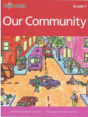

What is a community? How does a community satisfy the needs of its members? This easy-to-follow activity book emphasizes the social and physical needs of citizens in a community and relates those concepts to the everyday lives of primary students.
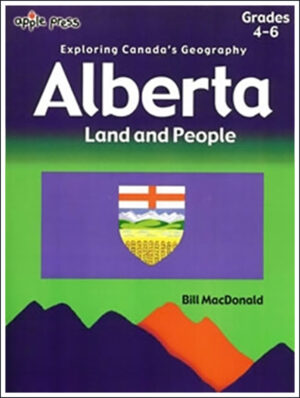
This activity book is about Canada’s fourth largest province. Its reproducible activities are designed for Grades 4-6 readers. Topics include Alberta’s geographical regions and climate, the Rocky Mountains, rivers systems and natural resources.
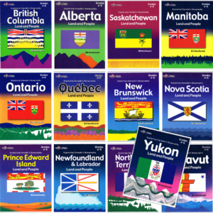
Full set of workbooks for all provinces and territories.
Get the whole Land and People Explore Canada’s Geography Workbook series.
Lyrics in French (Canadian dialect):
Quand on part des chanquiers
Mes chers amis tous le coeur gai
Pour aller voir tous nos parents
Mes chers amis le coeur content.
Envoyons d’l’avant nos gens
Envoyons d’l’avant!
Mais qu’nos amis nous voyent arriver
Y vont s’mettr’ à rire, à chanter.
Dimanche au soir à la veillée
Nous irons voir nos compagnées.
Dimanche au soir à la veillée
Nous irons voir nos compagnées.
Elles vont nous dire mais en entrant
V’là mon amant, j’ai l’coeur content!
Elles vont nous dire mais en entrant
V’là mon amant, j’ai l’coeur content!
Et au milieu de la veillée
Elles vont nous parler d’leus cavaliers.
Et au milieu de la veillée
Elles vont nous parler d’leurs cavaliers.
Elles vont nous dire mais en partant
As-tu fréquenté des amants?
Elles vont nous dire mais en partant
As-tu fréquenté des amants?
Qui a composé la chanson?
C’est Jos Blanchet le joli garçon!
English translation:
When we leave the chanquiers (woodworking locations)
My dear friends, all with hearts gay,
To see all our friends and family,
My dear friends, all with hearts gay,
Let’s go boys, let’s go!
Let’s go boys, let’s go!
When our friends will see us arrive,
They start laughing and singing,
Sunday night at the vigil,
We’ll go see our partners,
Sunday night at the vigil,
We’ll go see our partners,
They’ll tell us as we enter,
Here’s my lover, my heart is happy,
They’ll tell us as we enter,
Here’s my lover, my heart is happy,
And at the middle of the vigil,
They’ll tell us of their lovers,
And at the middle of the vigil,
They’ll tell us of their lovers,
And they’ll ask us as we leave,
Did you go see any mistresses?
And they’ll ask us as we leave,
Did you go see any mistresses?
Who wrote the song?
It was Jo Blanchet, the pretty boy
Join our newsletter to be the first to get new updates, freebies, and our PDF catalogue to browse.
You can see how this popup was set up in our step-by-step guide: https://wppopupmaker.com/guides/auto-opening-announcement-popups/