Showing 37–48 of 62 results
-
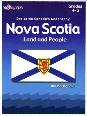

$13.99
Learn about Nova Scotia geography, Bay of Fundy Tides, Atlantic ocean currents, Sable Island and the Cape Breton Highlands. Discover important people and places such as the Mi’kmaq people, Port Royal, Louisbourg, the Acadians, the Loyalists, and Lunenburg. Find out the natural resources of Nova Scotia such as blueberries, scallops, and shellfish. An outline map, crossword puzzle and quiz all help students grasp the concepts. An answer key is available for all workpages.
-
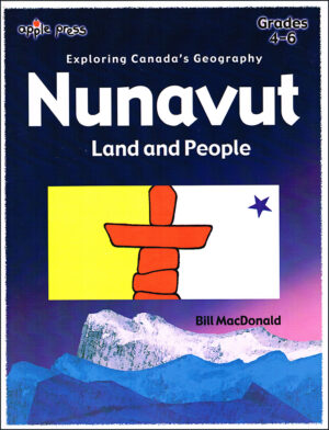

$13.99
Students will learn about Nunavut’s geography, climate, history and natural resources in this reproducible workbook for Grades 4-6. A full answer key is included.
-
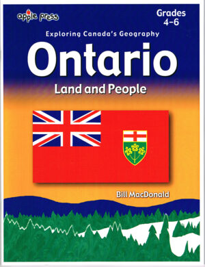

$13.99
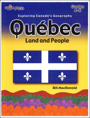
The Exploring Canada’s Geography series make it easy for teachers to cover mapping and culture with reproducible worksheets. Suitable for Grades 4-6. Factual, updated information with various activities and map workpages will help students learn such things as planning a route, understanding map symbols, using a scale to calculate distance and more.
-
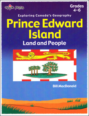

$13.99
Students will learn about Prince Edward Island geography, climate, history and natural resources in this reproducible workbook for Grades 4-6. A full answer key is included.
-

$13.99
This reproducible workbook includes maps, geography, climate, history and natural resources with workpages, a crossword, a quiz, and a full answer key.
-

$13.99
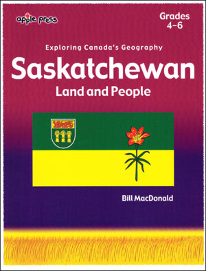
This reproducible workbook will help children learn about geography, history, and the resources of Saskatchewan.
-

$13.99
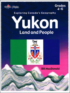
Children will learn about the geography, climate, people and natural resources in this Grade 4-6 reproducible workbook.
-
$14.99
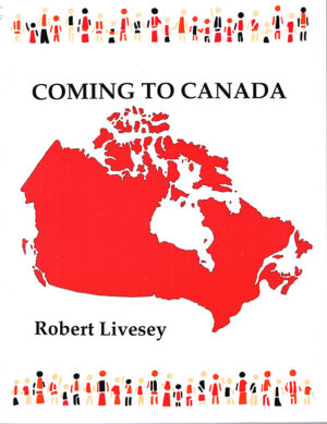
This 160-page textbook offers a poignant and personal glimpse into the lives of 42 young immigrants, aged 8 to 25, who have made Canada their new home. Through their compelling stories, the book explores the diverse motivations that drove them to leave their native countries, shedding light on the reasons Canada was chosen as their destination.
- Author: Robert Livesey
- 149 pages, black & white
- Ages 8-12. 12+
-
Sale!
$19.99 Original price was: $19.99.$16.00Current price is: $16.00.
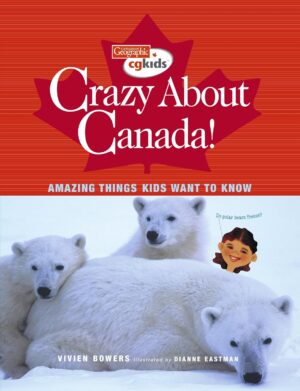
Owlkids Books and Canadian Geographic magazine put a call out to kids across Canada: “Vivien Bowers wants to answer your questions about your country. Your very own question could be included in Vivien’s book, Crazy About Canada!”
Thousands of kids responded, and this Wow Canada! book selected and answered the most frequently asked and intriguing questions.
- Author: Vivian Bowers
- 96 pages, full colour
- Ages 8-12
-
Sale!
$16.95 Original price was: $16.95.$10.95Current price is: $10.95.
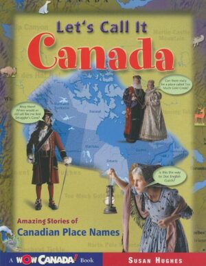
How did places like Flin Flon, Lake Cinderella, Medicine Hat, and Deception Creek get their names?
From the Wow Canada! series comes Let’s Call It Canada, a fun- and fact-filled collection of stories behind the place names of Canada.
- Author: Susan Hughes
- 96 pages, full colour
- Ages 8-12
-
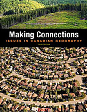

$118.00
Suitable for Grade 9 or 10 Canadian geography in any province. Group this textbook with Rowan Atkinson’s Making Connections Companion Workbook for a full course.
Geography is much more than a collection of facts about where things are located and why they are there. Most importantly, it is a subject that connects physical and social perspectives to the study of people, places and environments. Through the use of Making Connections: Canada’s Geography, you will have an opportunity to extend your ability to see Canada and the world as a geographer does.
-
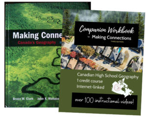
$149.00
Suitable for Grade 9 or 10 Canadian geography in any province. This bundle provides a full geography course.
