Outline Maps of Canada and Provinces
Outline maps are always useful, but take a lot of time to find. Here we have a collection of printable maps for your students. We’ve done the legwork – yours to enjoy.


Outline maps are always useful, but take a lot of time to find. Here we have a collection of printable maps for your students. We’ve done the legwork – yours to enjoy.

From west to east, Canada’s six different time zones are: Pacific, Mountain, Central, Eastern, Atlantic and Newfoundland. Up to the 1880s, cities and towns used their own local solar time which could vary from place to place. That was fine when people didn’t travel far, but once the railways allowed quicker travel over long distances,…
Ontario is a province of Canada. Located in Central Canada and is Canada’s most populous province, with 38.3 percent of the country’s population, and is the second-largest province in total area. It is home to the nation’s capital city Ottawa, and the nation’s most populous city, Toronto which is also Ontario’s provincial capital. The great…
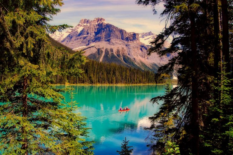
Explore the Yukon with the adventure, mystery and story it brings! The Yukon, Canada’s northwest territory, is wild, mountainous and still a vast underpopulated wilderness. Canada’s highest peak, Mount Logan, glaciers, wild ice aqua rivers and trails are part of the mystique of this storied land. Dawson City Sourdough The Dawson City Historical Complex commemorates…
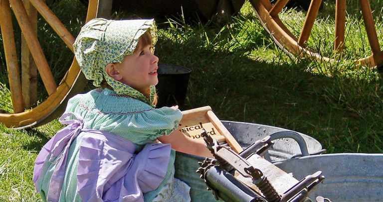
Loyalists who came by land to Quebec and Ontario brought their belongings in covered wagons. Click on the button below for printable craft instructions for a Covered Wagon Craft made with craft supplies around the house. Bonnets – In New France, women and girls wore coifs or caps all the time. Different caps were…
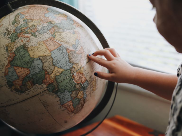
Over the centuries, many different ways of representing the round Earth on flat paper have been developed. Each of these methods is referred to as a map projection. Imagine wrapping a rubber ball with a sheet of paper. No matter how hard you try, you can’t get the paper flat. That’s the problem with making…
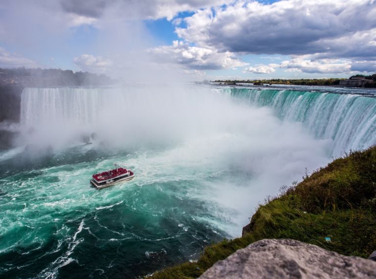
Snakes, polar bears and floods… has to be Manitoba! Manitoba is a province at the longitudinal centre of Canada. It is one of the three prairie provinces (with Alberta and Saskatchewan) and Canada’s fifth-most populous province with its estimated 1.3 million people. Manitoba covers 649,950 square kilometres with a widely varied landscape. Manitoba’s capital and…
You can see how this popup was set up in our step-by-step guide: https://wppopupmaker.com/guides/auto-opening-announcement-popups/