“Canada Map Book 4” has been added to your cart.
View cart
Showing 73–84 of 359 results
-


$9.95
Beautiful full colour pictures and easy text cover the topics of bodies of water, the equator, poles, and hemispheres, latitude and longitude, urban and rural areas, landforms, extreme continents, and many more. This book certainly shows a different and fun way to study this important curriculum topic!
-

Rated 5.00 out of 5
$49.00
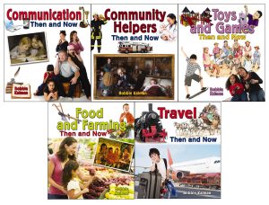
These five colourful books will help students learn about time and change.
While modern conveniences have made life more comfortable and efficient, they have also brought about distractions and a constant bombardment of information. While the specific challenges and opportunities may have evolved over time, the essence of the human experience continues to resonate across the ages. Discover change and continuity in our history.
-

$9.95
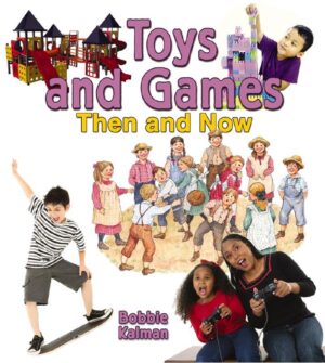
How are today’s toys and games different from those in the past? This informative title compares the pastimes and playthings of the olden days to the modern games and toys kids love today. Simple text and engaging pictures aid students in their comparison of two different time periods.
-

$9.95
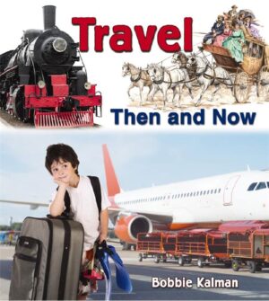
From wagons and steamboats to hybrid cars and ferries, all modes of transportation have changed significantly over time. Historical photographs and accessible text combine to help young readers compare and contrast transportation from past to present.
-

$16.95
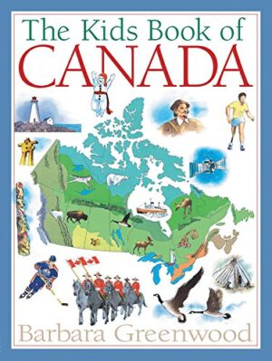
This premier children’s resource on Canada brings up to date this bestselling treasury of information that has long been an essential book for schools, libraries and homes from coast to coast.
- ISBN: 9781554532261
- Author: Barbara Greenwood
- 60 pages
- Ages: 8-12
-


$12.99
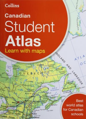
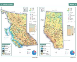
This atlas specifically for middle grades is a perfect transition between the child’s atlas and an adult atlas.
- ISBN: 9780007946952
- Author: Collins
- 96 pages
- Ages: 8-12, 12+
-

$13.99
Enjoy using these easy-to-follow activities that introduce young learners to the special language of maps. Numerous drawings are included to further clarify and reinforce the content.
As a bonus, the teacher section at the bottom of each page defines key terms, clarifies objectives and suggests further activities.
-


$13.99
Introduce students to Canada through maps and map activities. Self-directed workpages to teach map skills and Canadian geography.
- ISBN: 9781897319093
- Author: George Quinn
- 40 pages
- Ages: 6-9
-


$13.99
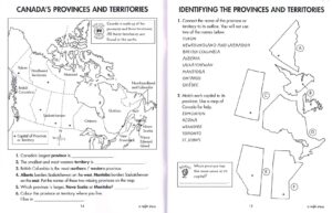
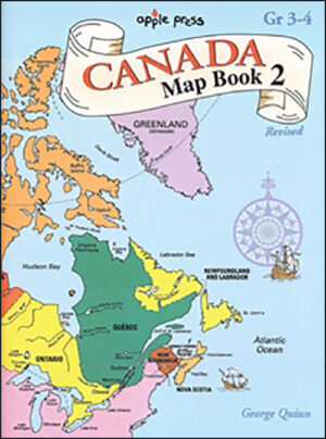
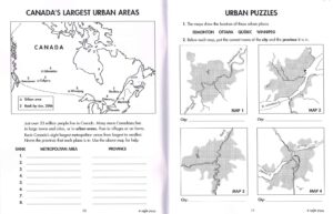
This reproducible activity book contains a variety of maps of Canada, designed to help students in Grades 3-4 learn to master basic map skills while gaining a better understanding of Canadian geography.
-


$14.99
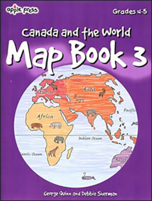
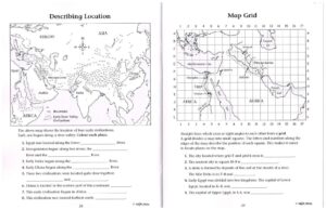
The third in a series of activity books designed to develop map skills, this easy-to-use book introduces special language of maps and includes over 40 thoughtful activities. The activities are organized in a sequential progression around four general skills involving shape, symbols, direction and position and scale. Through a variety of activities based on provincial social studies curricula, the broad map understandings are subdivided into more specific map skills. Each activity develops one or more new skills to provide an efficient and logical way for students to learn to use maps.
-


$14.99
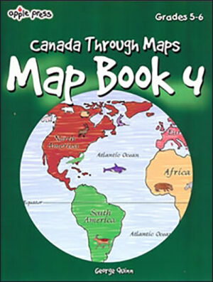
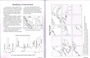
The fourth in a series of popular activity books designed to develop map skills, Map Book 4 contains 40 lively activities to help grades 5 to 6 readers develop and apply four fundamental map skills:
- shapes
- symbols
- position
- direction and scale
- 48 pages
- Ages 8-12
-


$14.99
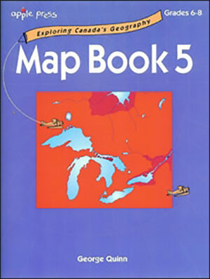
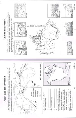
The activities in Map Book 5, designed for grades 6-8 readers, build on those skills developed in Apple Press Map Book 3 & 4. The topics utilize a variety of thematic maps relating to Canada’s physical and cultural geography.
Reproducible