


Learn the Continents of the World
Are your students having trouble remembering the names of the continents, or are you just teaching it for the first time? My grandkids LOVED the video below!
Get your FREE continents printable here.

Are your students having trouble remembering the names of the continents, or are you just teaching it for the first time? My grandkids LOVED the video below!
Get your FREE continents printable here.




Nunavut is the newest, largest, and most northerly territory of Canada. It was separated officially from the Northwest Territories on April 1, 1999. Nunavut comprises a major portion of Northern Canada, and most of the Canadian Arctic Archipelago. Its vast territory makes it the fifth-largest country subdivision in the world, as well as North America’s…
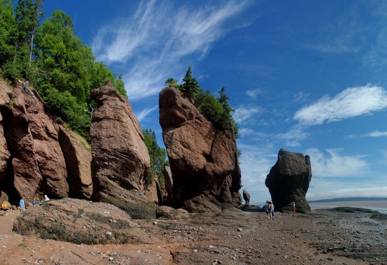
New Brunswick is one of four Atlantic provinces in eastern Canada. New Brunswick is the only officially bilingual province, has the highest tides in the world, and is mostly forested. Historically, ship building and forestry were two of the most important industries. New Brunswick’s terrain is mostly forested uplands, with much of the land further…
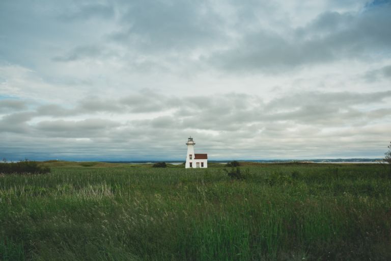
Prince Edward Island is a province and one of the three Maritime Provinces. Maritime means ‘of the sea’. Together, with Newfound and Labrador, these provinces make up the region of Atlantic Canada. PEI is the smallest province of Canada in both land area and population, but it is the most densely populated. The people of…
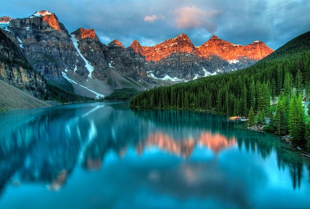
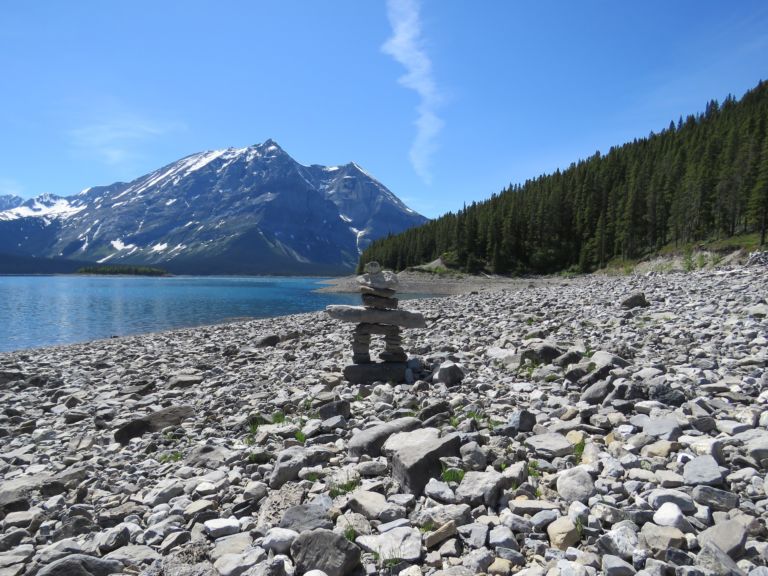
Alberta is a western province of Canada. It is one of only two completely landlocked provinces. It boasts some of the most beautiful locations in Canada, including Banff, and Lake Louise. The 10 day Calgary Stampede is famous around the world. Alberta was named after Princess Louise Caroline Alberta, the fourth daughter of Queen Victoria…
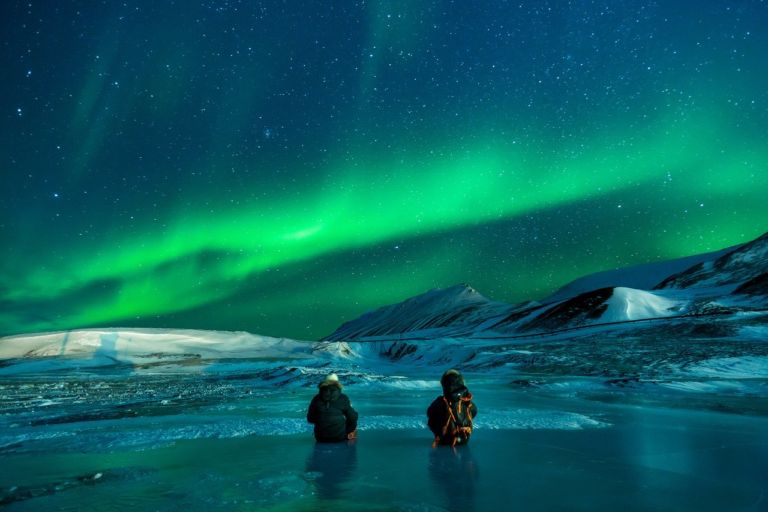
Discover ice planes and bush planes, the wild Nahanni River or the mammoth Wood Buffalo National Park, and top your tour off with a night show of lights. The Northwest Territories is a federal territory of Canada. At a land area of approximately 1,144,000 km2 , it is the second-largest and the most populous of the…
Use these six videos for an introduction to basic geography, measurement of location, latitude and longitude, cartography, and GIS for upper elementary and high school. Related Resources
Join our newsletter to be the first to get new updates, freebies, and our PDF catalogue to browse.