Outline Maps of Canada and Provinces
Outline maps are always useful, but take a lot of time to find. Here we have a collection of printable maps for your students. We’ve done the legwork – yours to enjoy.


Outline maps are always useful, but take a lot of time to find. Here we have a collection of printable maps for your students. We’ve done the legwork – yours to enjoy.
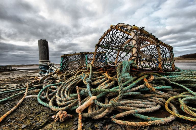
The North American Lobster may be an item on a fancy menu, it is, first and foremost, an important wildlife species to our Atlantic coast’s ecology. Dive in, and discover this fascinating animal! In the mid-1880s – only ten years after the lobster boom began – overfishing drove the stocks to dangerously low levels. The…
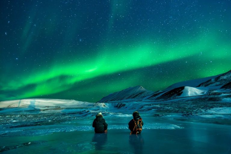
Discover ice planes and bush planes, the wild Nahanni River or the mammoth Wood Buffalo National Park, and top your tour off with a night show of lights. The Northwest Territories is a federal territory of Canada. At a land area of approximately 1,144,000 km2 , it is the second-largest and the most populous of the…
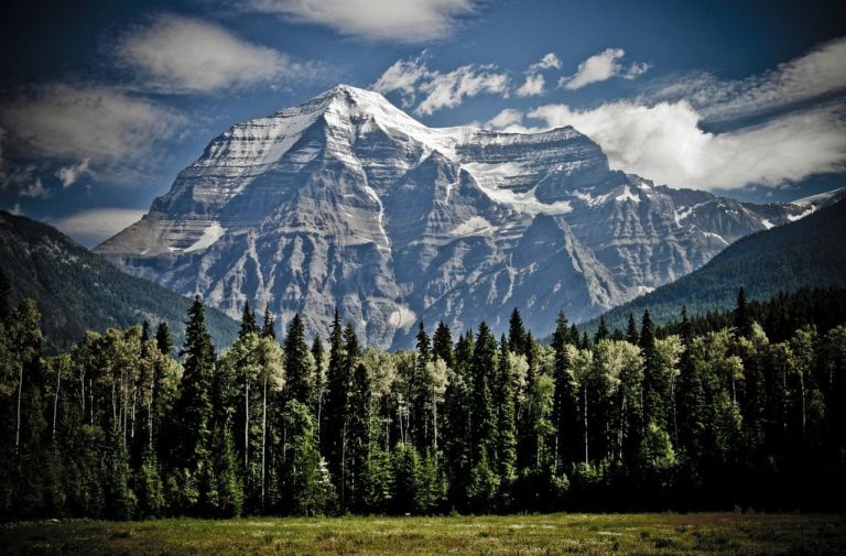
British Columbia is the westernmost province of Canada, located between the Pacific Ocean and the Rocky Mountains. It has the mildest weather of all the provinces in Canada, often with very rainy winters. The landscape is stunning, from coastal beaches to mountain vistas. In 1866, Vancouver Island became part of the colony of British Columbia,…
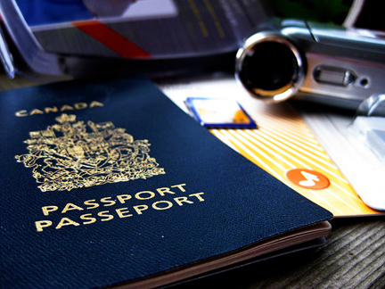
Pretend passports are a great resource to record places you visit throughout the year through studies and books. Whenever you read a story set in a world location, or study another culture, put a sticker or stamp in your passport for a record of all the places you’ve virtually visited. Class or co-op Group Activity: …
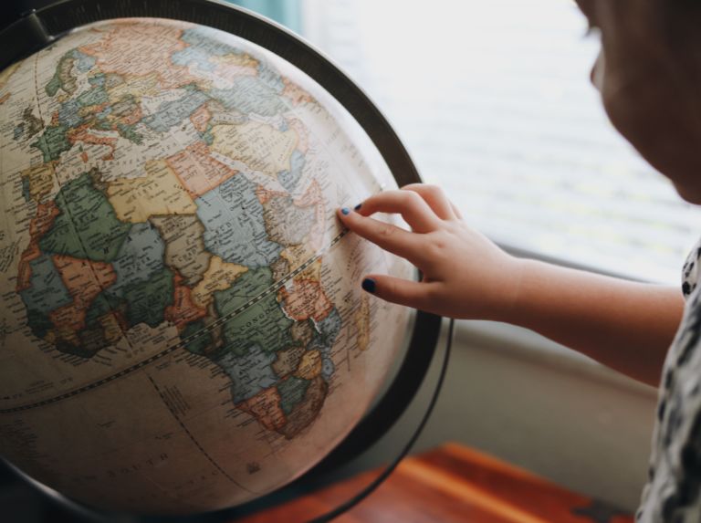
Over the centuries, many different ways of representing the round Earth on flat paper have been developed. Each of these methods is referred to as a map projection. Imagine wrapping a rubber ball with a sheet of paper. No matter how hard you try, you can’t get the paper flat. That’s the problem with making…

Use these six videos for an introduction to basic geography, measurement of location, latitude and longitude, cartography, and GIS for upper elementary and high school. Related Resources
Please include a physical address for courier service.
If courier costs are significantly higher, you will receive an email and given a choice to upgrade to courier, wait for Canada Post service to resume, or cancel your order.
We will do all we can to make sure you receive your orders in a timely and cost-effective manner.
Join our newsletter to be the first to get new updates, freebies, and our PDF catalogue to browse.