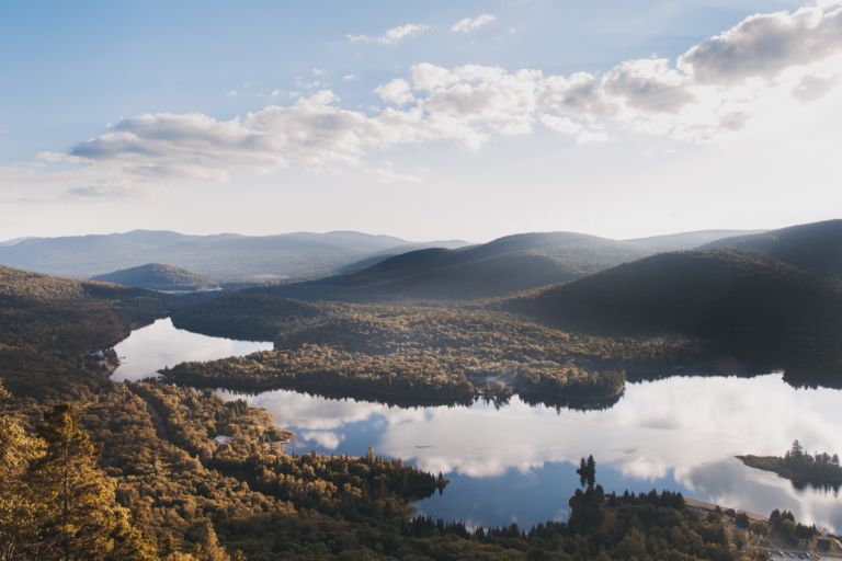
Outline Maps of Canada and Provinces
Outline maps are always useful, but take a lot of time to find. Here we have a collection of printable maps for your students. We’ve done the legwork – yours to enjoy.


Outline maps are always useful, but take a lot of time to find. Here we have a collection of printable maps for your students. We’ve done the legwork – yours to enjoy.
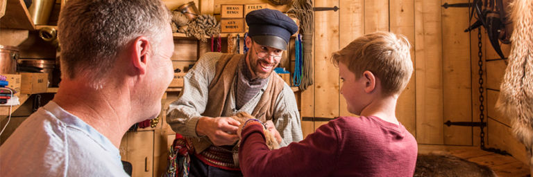
Rocky Mountain House National Historic Site is one of Canada’s fine examples of how the fur trade helped shape the nation. Enjoy exhibits, walk through archaeological remains of the four forts, get hands on experience with Métis skills of the fur trade. Stay awhile and camp in Indigenous trapper’s tents and tipis. Rocky Mountain House…
Explore the Yukon with the adventure, mystery and story it brings! The Yukon, Canada’s northwest territory, is wild, mountainous and still a vast underpopulated wilderness. Canada’s highest peak, Mount Logan, glaciers, wild ice aqua rivers and trails are part of the mystique of this storied land. Dawson City Sourdough The Dawson City Historical Complex commemorates…
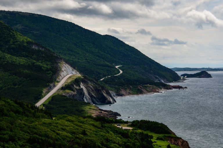
Nova Scotia is one of Canada’s three Maritime Provinces, and one of the four provinces that form Atlantic Canada. Nova Scotia, which includes Cape Breton Island has over 3,800 coastal islands and a whopping 13,000 plus km of coastline. You can see why most of the population lives and works in a coastal community. The sea…
Ontario is a province of Canada. Located in Central Canada and is Canada’s most populous province, with 38.3 percent of the country’s population, and is the second-largest province in total area. It is home to the nation’s capital city Ottawa, and the nation’s most populous city, Toronto which is also Ontario’s provincial capital. The great…
Quebec is one of the thirteen provinces and territories of Canada and is Canada’s largest province by area. It is the second-most populous province of Canada and is the only one to have a predominately French-speaking population. The name Quebec comes from the Algonquin word kebec which means “narrow passage” referring the the narrowing of…
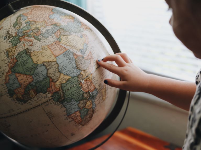
Over the centuries, many different ways of representing the round Earth on flat paper have been developed. Each of these methods is referred to as a map projection. Imagine wrapping a rubber ball with a sheet of paper. No matter how hard you try, you can’t get the paper flat. That’s the problem with making…
Please include a physical address for courier service.
If courier costs are significantly higher, you will receive an email and given a choice to upgrade to courier, wait for Canada Post service to resume, or cancel your order.
We will do all we can to make sure you receive your orders in a timely and cost-effective manner.
Join our newsletter to be the first to get new updates, freebies, and our PDF catalogue to browse.