Outline Maps of Canada and Provinces
Outline maps are always useful, but take a lot of time to find. Here we have a collection of printable maps for your students. We’ve done the legwork – yours to enjoy.


Outline maps are always useful, but take a lot of time to find. Here we have a collection of printable maps for your students. We’ve done the legwork – yours to enjoy.
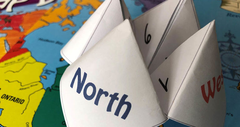
Have fun with an old-fashioned paper game and review Canadian bodies of water with the free printable! Try making up your own questions with the blank Cootie Catcher template. Learn the names of the oceans with the help of the videos below. Related Products
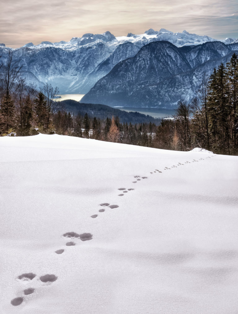
Looking at animal tracks gives children a chance to observe, question, and think critically about what they see. Tracks present a mystery which piques curiosity and begs an answer. Looking for animal tracks is a great opportunity to turn off the devices and enjoy the outdoors while combining science and geography with investigation and inquiry….
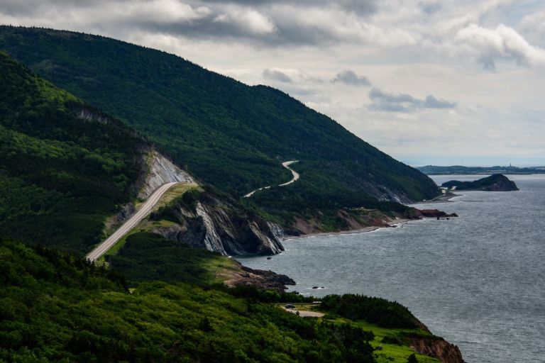
Nova Scotia is one of Canada’s three Maritime Provinces, and one of the four provinces that form Atlantic Canada. Nova Scotia, which includes Cape Breton Island has over 3,800 coastal islands and a whopping 13,000 plus km of coastline. You can see why most of the population lives and works in a coastal community. The sea…
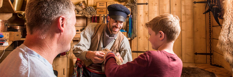
Rocky Mountain House National Historic Site is one of Canada’s fine examples of how the fur trade helped shape the nation. Enjoy exhibits, walk through archaeological remains of the four forts, get hands on experience with Métis skills of the fur trade. Stay awhile and camp in Indigenous trapper’s tents and tipis. Rocky Mountain House…
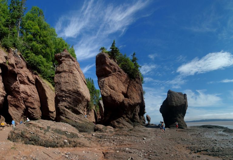
New Brunswick is one of four Atlantic provinces in eastern Canada. New Brunswick is the only officially bilingual province, has the highest tides in the world, and is mostly forested. Historically, ship building and forestry were two of the most important industries. New Brunswick’s terrain is mostly forested uplands, with much of the land further…
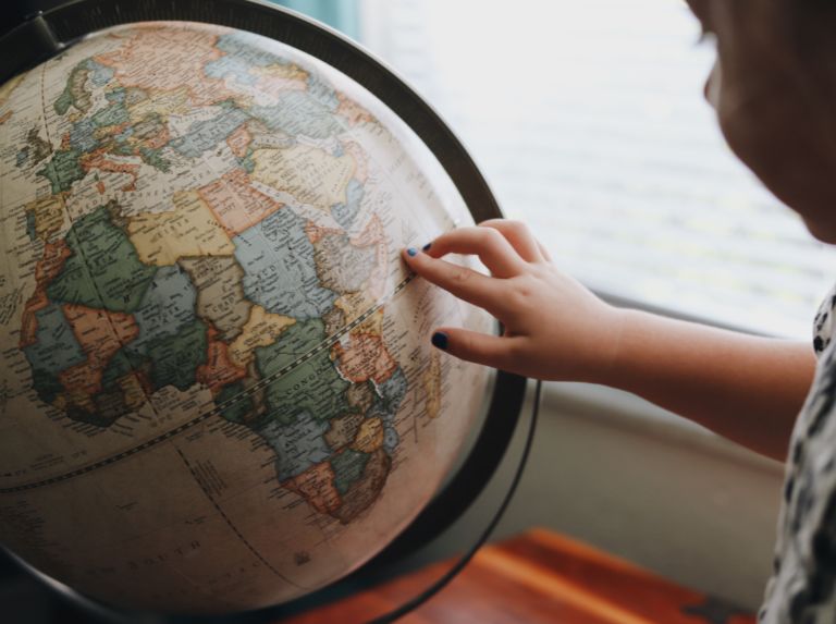
Over the centuries, many different ways of representing the round Earth on flat paper have been developed. Each of these methods is referred to as a map projection. Imagine wrapping a rubber ball with a sheet of paper. No matter how hard you try, you can’t get the paper flat. That’s the problem with making…