Outline Maps of Canada and Provinces
Outline maps are always useful, but take a lot of time to find. Here we have a collection of printable maps for your students. We’ve done the legwork – yours to enjoy.


Outline maps are always useful, but take a lot of time to find. Here we have a collection of printable maps for your students. We’ve done the legwork – yours to enjoy.
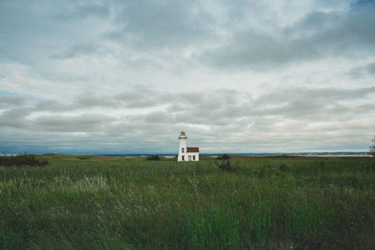
Prince Edward Island is a province and one of the three Maritime Provinces. Maritime means ‘of the sea’. Together, with Newfound and Labrador, these provinces make up the region of Atlantic Canada. PEI is the smallest province of Canada in both land area and population, but it is the most densely populated. The people of…
Nunavut is the newest, largest, and most northerly territory of Canada. It was separated officially from the Northwest Territories on April 1, 1999. Nunavut comprises a major portion of Northern Canada, and most of the Canadian Arctic Archipelago. Its vast territory makes it the fifth-largest country subdivision in the world, as well as North America’s…

From west to east, Canada’s six different time zones are: Pacific, Mountain, Central, Eastern, Atlantic and Newfoundland. Up to the 1880s, cities and towns used their own local solar time which could vary from place to place. That was fine when people didn’t travel far, but once the railways allowed quicker travel over long distances,…
Snakes, polar bears and floods… has to be Manitoba! Manitoba is a province at the longitudinal centre of Canada. It is one of the three prairie provinces (with Alberta and Saskatchewan) and Canada’s fifth-most populous province with its estimated 1.3 million people. Manitoba covers 649,950 square kilometres with a widely varied landscape. Manitoba’s capital and…

🌍 Experience the Excitement of the Geography Fair! The Geography Fair is more than an event—it’s a journey around the world! Students choose a topic that inspires them, whether it’s a country, province, region, or a fascinating global theme. From hands-on research to creative displays, they dive deep into discovery and bring geography to life…
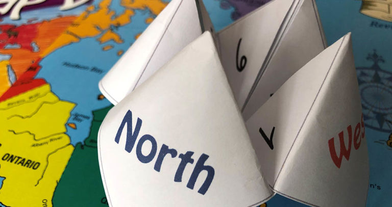
Have fun with an old-fashioned paper game and review Canadian bodies of water with the free printable! Try making up your own questions with the blank Cootie Catcher template. Learn the names of the oceans with the help of the videos below. Related Products
You can see how this popup was set up in our step-by-step guide: https://wppopupmaker.com/guides/auto-opening-announcement-popups/