Geography and GIS
Use these six videos for an introduction to basic geography, measurement of location, latitude and longitude, cartography, and GIS for upper elementary and high school.

Use these six videos for an introduction to basic geography, measurement of location, latitude and longitude, cartography, and GIS for upper elementary and high school.


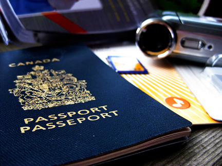
Pretend passports are a great resource to record places you visit throughout the year through studies and books. Whenever you read a story set in a world location, or study another culture, put a sticker or stamp in your passport for a record of all the places you’ve virtually visited. Class or co-op Group Activity: …
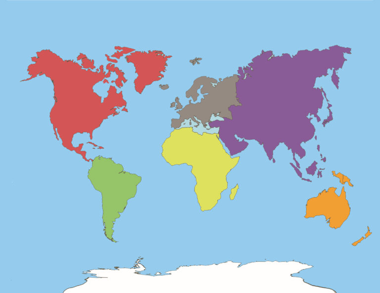
Are your students having trouble remembering the names of the continents, or are you just teaching it for the first time? My grandkids LOVED the video below! Get your FREE continents printable here. Books about Continents – Click here Stories

Outline maps are always useful, but take a lot of time to find. Here we have a collection of printable maps for your students. We’ve done the legwork – yours to enjoy.

From west to east, Canada’s six different time zones are: Pacific, Mountain, Central, Eastern, Atlantic and Newfoundland. Up to the 1880s, cities and towns used their own local solar time which could vary from place to place. That was fine when people didn’t travel far, but once the railways allowed quicker travel over long distances,…
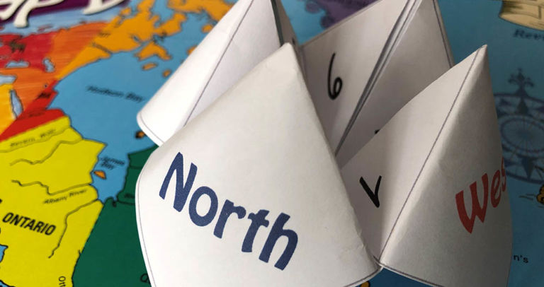
Have fun with an old-fashioned paper game and review Canadian bodies of water with the free printable! Try making up your own questions with the blank Cootie Catcher template. Learn the names of the oceans with the help of the videos below. Related Products

🌍 Experience the Excitement of the Geography Fair! The Geography Fair is more than an event—it’s a journey around the world! Students choose a topic that inspires them, whether it’s a country, province, region, or a fascinating global theme. From hands-on research to creative displays, they dive deep into discovery and bring geography to life…