Outline Maps of Canada and Provinces
Outline maps are always useful, but take a lot of time to find. Here we have a collection of printable maps for your students. We’ve done the legwork – yours to enjoy.


Outline maps are always useful, but take a lot of time to find. Here we have a collection of printable maps for your students. We’ve done the legwork – yours to enjoy.
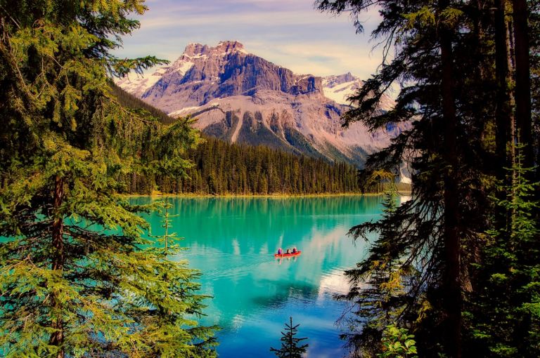
Explore the Yukon with the adventure, mystery and story it brings! The Yukon, Canada’s northwest territory, is wild, mountainous and still a vast underpopulated wilderness. Canada’s highest peak, Mount Logan, glaciers, wild ice aqua rivers and trails are part of the mystique of this storied land. Dawson City Sourdough The Dawson City Historical Complex commemorates…

Use these six videos for an introduction to basic geography, measurement of location, latitude and longitude, cartography, and GIS for upper elementary and high school. Related Resources

Looking at animal tracks gives children a chance to observe, question, and think critically about what they see. Tracks present a mystery which piques curiosity and begs an answer. Looking for animal tracks is a great opportunity to turn off the devices and enjoy the outdoors while combining science and geography with investigation and inquiry….

Need some suggestions for engaging your children this Canada Day? We’ve compiled a list of themed crafts, activities, and snacks to keep your students having fun this Canada Day! Check them out below. Related Books
Take a look at the interesting things this prairie province has to offer! Saskatchewan is a prairie and boreal province in western Canada, the only province without a natural border. Saskatchewan is a landlocked province with large distances to moderating bodies of waters. As a result, its climate is extremely continental, rendering severe winters throughout…
Snakes, polar bears and floods… has to be Manitoba! Manitoba is a province at the longitudinal centre of Canada. It is one of the three prairie provinces (with Alberta and Saskatchewan) and Canada’s fifth-most populous province with its estimated 1.3 million people. Manitoba covers 649,950 square kilometres with a widely varied landscape. Manitoba’s capital and…
Lyrics in French (Canadian dialect):
Quand on part des chanquiers
Mes chers amis tous le coeur gai
Pour aller voir tous nos parents
Mes chers amis le coeur content.
Envoyons d’l’avant nos gens
Envoyons d’l’avant!
Mais qu’nos amis nous voyent arriver
Y vont s’mettr’ à rire, à chanter.
Dimanche au soir à la veillée
Nous irons voir nos compagnées.
Dimanche au soir à la veillée
Nous irons voir nos compagnées.
Elles vont nous dire mais en entrant
V’là mon amant, j’ai l’coeur content!
Elles vont nous dire mais en entrant
V’là mon amant, j’ai l’coeur content!
Et au milieu de la veillée
Elles vont nous parler d’leus cavaliers.
Et au milieu de la veillée
Elles vont nous parler d’leurs cavaliers.
Elles vont nous dire mais en partant
As-tu fréquenté des amants?
Elles vont nous dire mais en partant
As-tu fréquenté des amants?
Qui a composé la chanson?
C’est Jos Blanchet le joli garçon!
English translation:
When we leave the chanquiers (woodworking locations)
My dear friends, all with hearts gay,
To see all our friends and family,
My dear friends, all with hearts gay,
Let’s go boys, let’s go!
Let’s go boys, let’s go!
When our friends will see us arrive,
They start laughing and singing,
Sunday night at the vigil,
We’ll go see our partners,
Sunday night at the vigil,
We’ll go see our partners,
They’ll tell us as we enter,
Here’s my lover, my heart is happy,
They’ll tell us as we enter,
Here’s my lover, my heart is happy,
And at the middle of the vigil,
They’ll tell us of their lovers,
And at the middle of the vigil,
They’ll tell us of their lovers,
And they’ll ask us as we leave,
Did you go see any mistresses?
And they’ll ask us as we leave,
Did you go see any mistresses?
Who wrote the song?
It was Jo Blanchet, the pretty boy
Join our newsletter to be the first to get new updates, freebies, and our PDF catalogue to browse.
You can see how this popup was set up in our step-by-step guide: https://wppopupmaker.com/guides/auto-opening-announcement-popups/