Outline Maps of Canada and Provinces
Outline maps are always useful, but take a lot of time to find. Here we have a collection of printable maps for your students. We’ve done the legwork – yours to enjoy.


Outline maps are always useful, but take a lot of time to find. Here we have a collection of printable maps for your students. We’ve done the legwork – yours to enjoy.
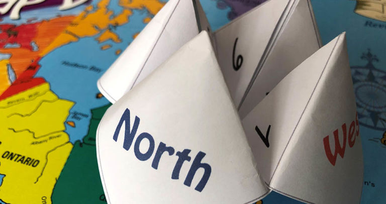
Have fun with an old-fashioned paper game and review Canadian bodies of water with the free printable! Try making up your own questions with the blank Cootie Catcher template. Learn the names of the oceans with the help of the videos below. Related Books
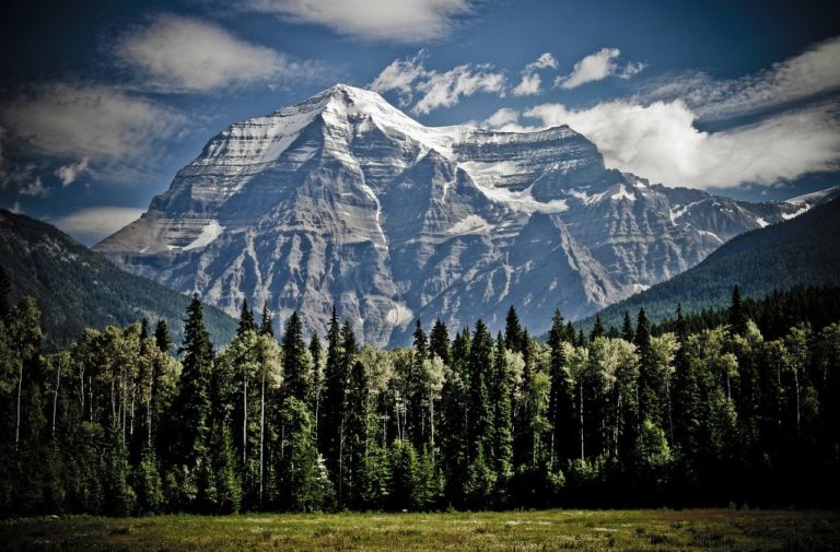
British Columbia is the westernmost province of Canada, located between the Pacific Ocean and the Rocky Mountains. It has the mildest weather of all the provinces in Canada, often with very rainy winters. The landscape is stunning, from coastal beaches to mountain vistas. In 1866, Vancouver Island became part of the colony of British Columbia,…
Quebec is one of the thirteen provinces and territories of Canada and is Canada’s largest province by area. It is the second-most populous province of Canada and is the only one to have a predominately French-speaking population. The name Quebec comes from the Algonquin word kebec which means “narrow passage” referring the the narrowing of…

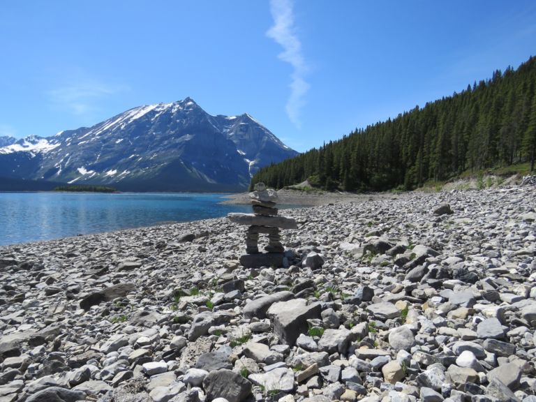
Rocky Mountain House National Historic Site is one of Canada’s fine examples of how the fur trade helped shape the nation. Enjoy exhibits, walk through archaeological remains of the four forts, get hands on experience with Métis skills of the fur trade. Stay awhile and camp in Indigenous trapper’s tents and tipis. Rocky Mountain House…
Nunavut is the newest, largest, and most northerly territory of Canada. It was separated officially from the Northwest Territories on April 1, 1999. Nunavut comprises a major portion of Northern Canada, and most of the Canadian Arctic Archipelago. Its vast territory makes it the fifth-largest country subdivision in the world, as well as North America’s…

Use these six videos for an introduction to basic geography, measurement of location, latitude and longitude, cartography, and GIS for upper elementary and high school. Related Resources
Please include a physical address for courier service.
If courier costs are significantly higher, you will receive an email and given a choice to upgrade to courier, wait for Canada Post service to resume, or cancel your order.
We will do all we can to make sure you receive your orders in a timely and cost-effective manner.
Join our newsletter to be the first to get new updates, freebies, and our PDF catalogue to browse.