Outline Maps of Canada and Provinces
Outline maps are always useful, but take a lot of time to find. Here we have a collection of printable maps for your students. We’ve done the legwork – yours to enjoy.


Outline maps are always useful, but take a lot of time to find. Here we have a collection of printable maps for your students. We’ve done the legwork – yours to enjoy.
Snakes, polar bears and floods… has to be Manitoba! Manitoba is a province at the longitudinal centre of Canada. It is one of the three prairie provinces (with Alberta and Saskatchewan) and Canada’s fifth-most populous province with its estimated 1.3 million people. Manitoba covers 649,950 square kilometres with a widely varied landscape. Manitoba’s capital and…
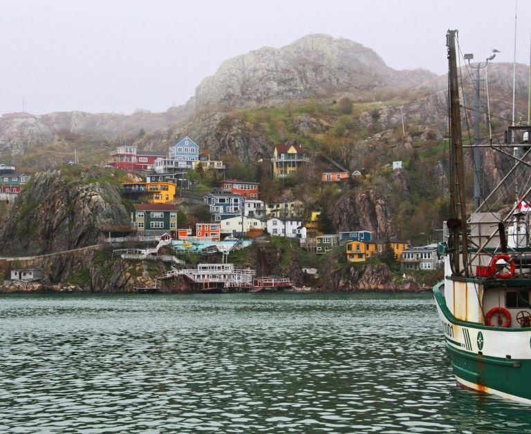
Newfoundland and Labrador is the most easterly province of Canada, closer in fact to Europe, than Canada’s west coast. When the Italian explorer, John Cabot, brought news back to England, the king of England said it was the “New founde lande” and the name stuck. How do locals pronounce the name Newfoundland? See the video below. Labrador is a…
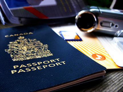
Pretend passports are a great resource to record places you visit throughout the year through studies and books. Whenever you read a story set in a world location, or study another culture, put a sticker or stamp in your passport for a record of all the places you’ve virtually visited. Class or co-op Group Activity: …
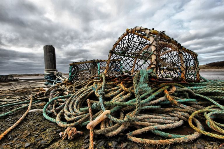
The North American Lobster may be an item on a fancy menu, it is, first and foremost, an important wildlife species to our Atlantic coast’s ecology. Dive in, and discover this fascinating animal! In the mid-1880s – only ten years after the lobster boom began – overfishing drove the stocks to dangerously low levels. The…
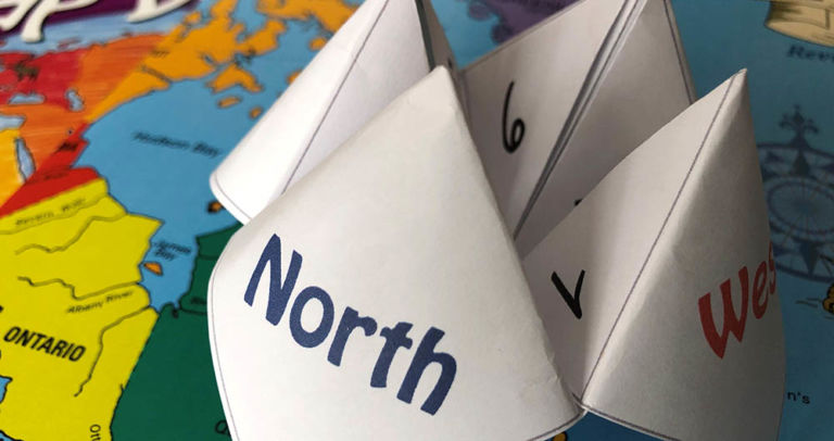
Have fun with an old-fashioned paper game and review Canadian bodies of water with the free printable! Try making up your own questions with the blank Cootie Catcher template. Learn the names of the oceans with the help of the videos below. Related Products
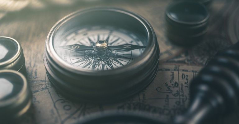
Use these six videos for an introduction to basic geography, measurement of location, latitude and longitude, cartography, and GIS for upper elementary and high school. Related Resources