Outline Maps of Canada and Provinces
Outline maps are always useful, but take a lot of time to find. Here we have a collection of printable maps for your students. We’ve done the legwork – yours to enjoy.


Outline maps are always useful, but take a lot of time to find. Here we have a collection of printable maps for your students. We’ve done the legwork – yours to enjoy.
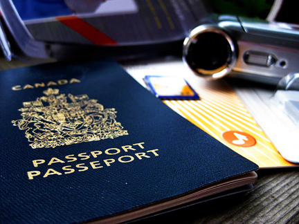
Pretend passports are a great resource to record places you visit throughout the year through studies and books. Whenever you read a story set in a world location, or study another culture, put a sticker or stamp in your passport for a record of all the places you’ve virtually visited. Class or co-op Group Activity: …
Discover ice planes and bush planes, the wild Nahanni River or the mammoth Wood Buffalo National Park, and top your tour off with a night show of lights. The Northwest Territories is a federal territory of Canada. At a land area of approximately 1,144,000 km2 , it is the second-largest and the most populous of the…
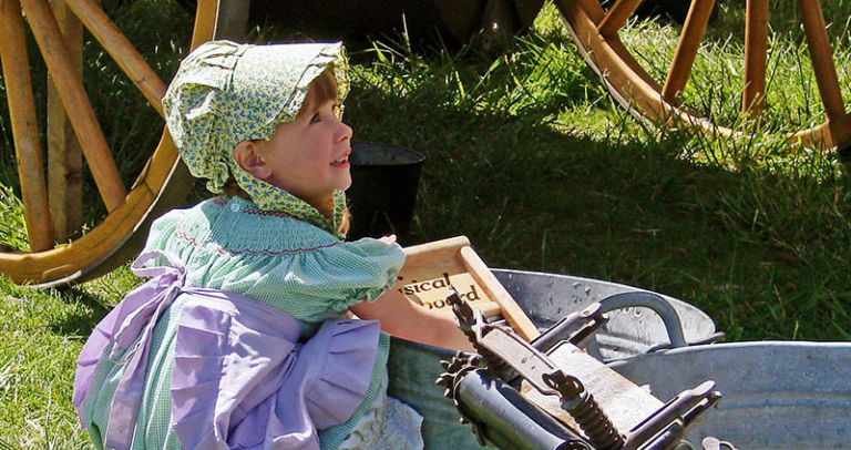
Loyalists who came by land to Quebec and Ontario brought their belongings in covered wagons. Click on the button below for printable craft instructions for a Covered Wagon Craft made with craft supplies around the house. Bonnets – In New France, women and girls wore coifs or caps all the time. Different caps were…
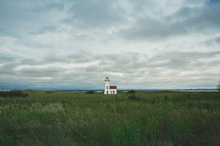
Prince Edward Island is a province and one of the three Maritime Provinces. Maritime means ‘of the sea’. Together, with Newfound and Labrador, these provinces make up the region of Atlantic Canada. PEI is the smallest province of Canada in both land area and population, but it is the most densely populated. The people of…
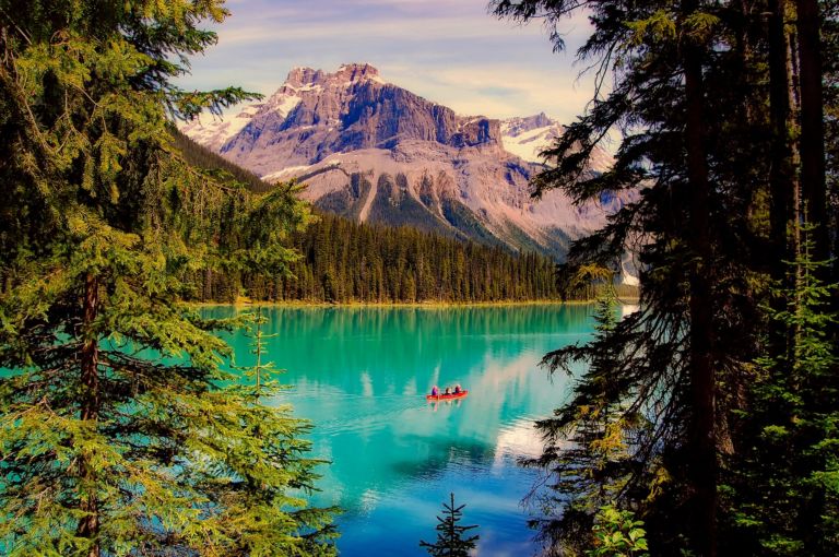
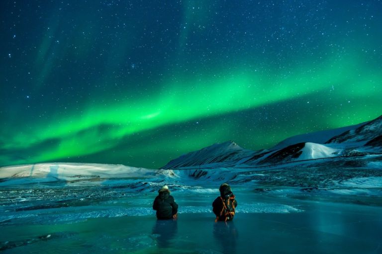
Explore the Yukon with the adventure, mystery and story it brings! The Yukon, Canada’s northwest territory, is wild, mountainous and still a vast underpopulated wilderness. Canada’s highest peak, Mount Logan, glaciers, wild ice aqua rivers and trails are part of the mystique of this storied land. Dawson City Sourdough The Dawson City Historical Complex commemorates…
Snakes, polar bears and floods… has to be Manitoba! Manitoba is a province at the longitudinal centre of Canada. It is one of the three prairie provinces (with Alberta and Saskatchewan) and Canada’s fifth-most populous province with its estimated 1.3 million people. Manitoba covers 649,950 square kilometres with a widely varied landscape. Manitoba’s capital and…