Outline Maps of Canada and Provinces
Outline maps are always useful, but take a lot of time to find. Here we have a collection of printable maps for your students. We’ve done the legwork – yours to enjoy.
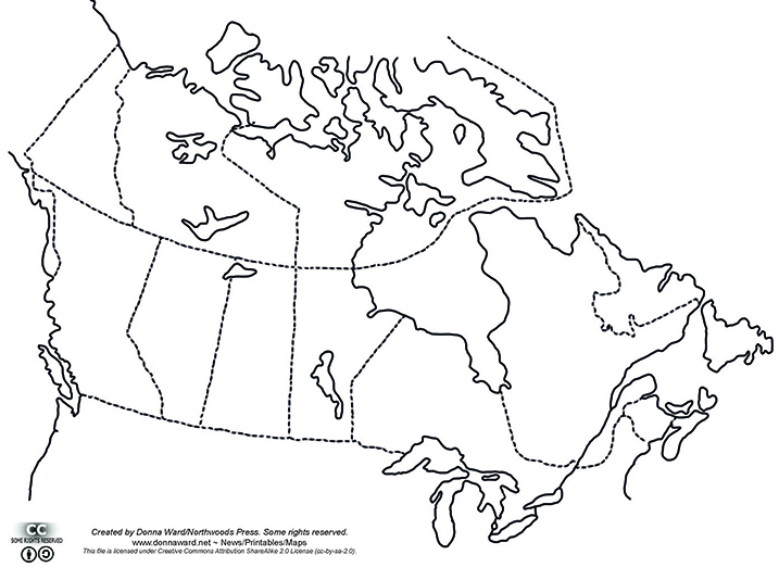
Outline maps are always useful, but take a lot of time to find. Here we have a collection of printable maps for your students. We’ve done the legwork – yours to enjoy.
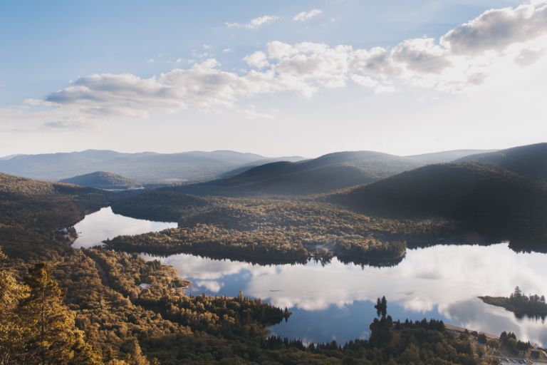
Quebec is one of the thirteen provinces and territories of Canada and is Canada’s largest province by area. It is the second-most populous province of Canada and is the only one to have a predominately French-speaking population. The name Quebec comes from the Algonquin word kebec which means “narrow passage” referring the the narrowing of…
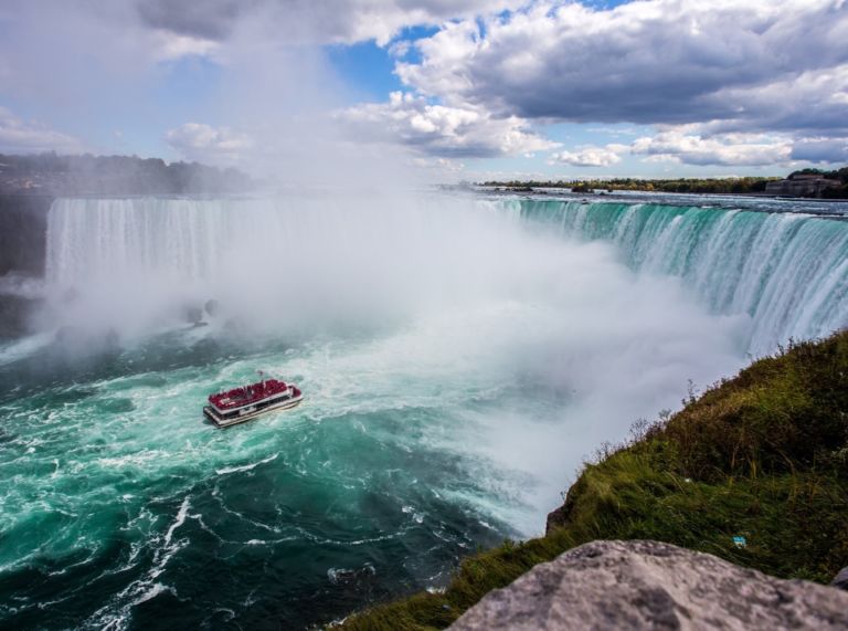
Ontario is a province of Canada. Located in Central Canada and is Canada’s most populous province, with 38.3 percent of the country’s population, and is the second-largest province in total area. It is home to the nation’s capital city Ottawa, and the nation’s most populous city, Toronto which is also Ontario’s provincial capital. The great…
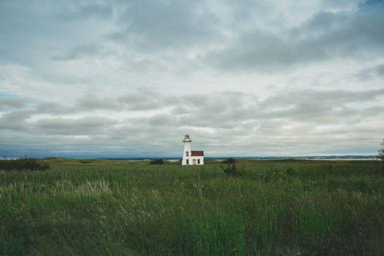
Prince Edward Island is a province and one of the three Maritime Provinces. Maritime means ‘of the sea’. Together, with Newfound and Labrador, these provinces make up the region of Atlantic Canada. PEI is the smallest province of Canada in both land area and population, but it is the most densely populated. The people of…
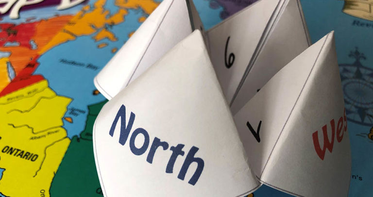
Have fun with an old-fashioned paper game and review Canadian bodies of water with the free printable! Try making up your own questions with the blank Cootie Catcher template. Learn the names of the oceans with the help of the videos below. Related Books
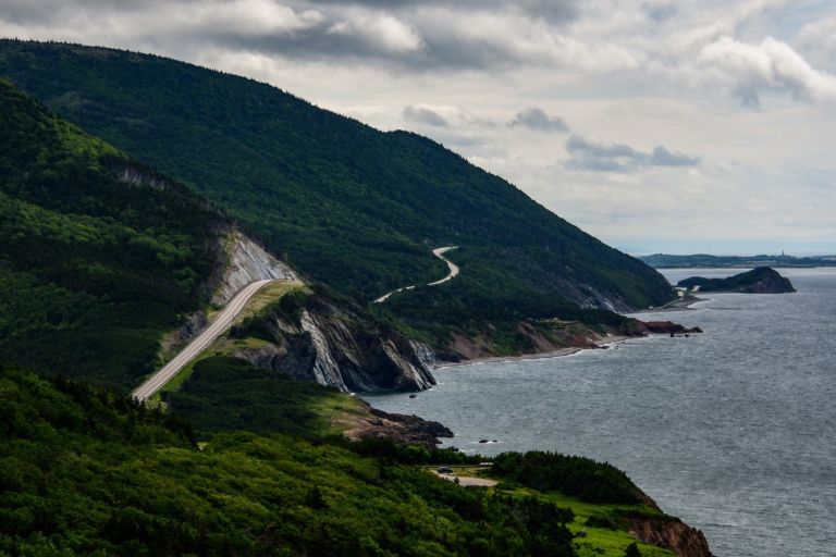
Nova Scotia is one of Canada’s three Maritime Provinces, and one of the four provinces that form Atlantic Canada. Nova Scotia, which includes Cape Breton Island has over 3,800 coastal islands and a whopping 13,000 plus km of coastline. You can see why most of the population lives and works in a coastal community. The sea…
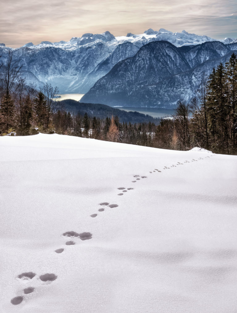
Looking at animal tracks gives children a chance to observe, question, and think critically about what they see. Tracks present a mystery which piques curiosity and begs an answer. Looking for animal tracks is a great opportunity to turn off the devices and enjoy the outdoors while combining science and geography with investigation and inquiry….
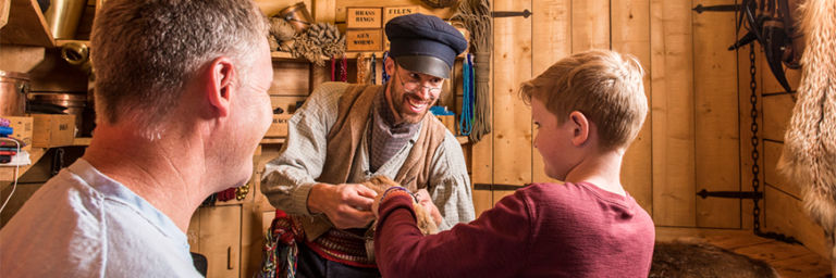
Rocky Mountain House National Historic Site is one of Canada’s fine examples of how the fur trade helped shape the nation. Enjoy exhibits, walk through archaeological remains of the four forts, get hands on experience with Métis skills of the fur trade. Stay awhile and camp in Indigenous trapper’s tents and tipis. Rocky Mountain House…
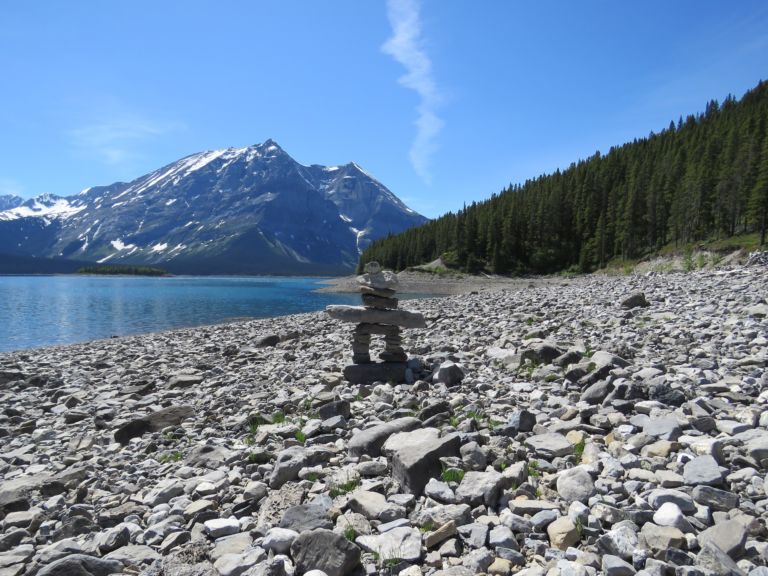
Nunavut is the newest, largest, and most northerly territory of Canada. It was separated officially from the Northwest Territories on April 1, 1999. Nunavut comprises a major portion of Northern Canada, and most of the Canadian Arctic Archipelago. Its vast territory makes it the fifth-largest country subdivision in the world, as well as North America’s…
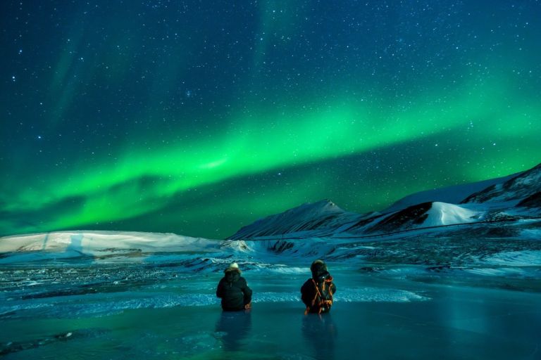
Discover ice planes and bush planes, the wild Nahanni River or the mammoth Wood Buffalo National Park, and top your tour off with a night show of lights. The Northwest Territories is a federal territory of Canada. At a land area of approximately 1,144,000 km2 , it is the second-largest and the most populous of the…
Please include a physical address for courier service.
If courier costs are significantly higher, you will receive an email and given a choice to upgrade to courier, wait for Canada Post service to resume, or cancel your order.
We will do all we can to make sure you receive your orders in a timely and cost-effective manner.
Lyrics in French (Canadian dialect):
Quand on part des chanquiers
Mes chers amis tous le coeur gai
Pour aller voir tous nos parents
Mes chers amis le coeur content.
Envoyons d’l’avant nos gens
Envoyons d’l’avant!
Mais qu’nos amis nous voyent arriver
Y vont s’mettr’ à rire, à chanter.
Dimanche au soir à la veillée
Nous irons voir nos compagnées.
Dimanche au soir à la veillée
Nous irons voir nos compagnées.
Elles vont nous dire mais en entrant
V’là mon amant, j’ai l’coeur content!
Elles vont nous dire mais en entrant
V’là mon amant, j’ai l’coeur content!
Et au milieu de la veillée
Elles vont nous parler d’leus cavaliers.
Et au milieu de la veillée
Elles vont nous parler d’leurs cavaliers.
Elles vont nous dire mais en partant
As-tu fréquenté des amants?
Elles vont nous dire mais en partant
As-tu fréquenté des amants?
Qui a composé la chanson?
C’est Jos Blanchet le joli garçon!
English translation:
When we leave the chanquiers (woodworking locations)
My dear friends, all with hearts gay,
To see all our friends and family,
My dear friends, all with hearts gay,
Let’s go boys, let’s go!
Let’s go boys, let’s go!
When our friends will see us arrive,
They start laughing and singing,
Sunday night at the vigil,
We’ll go see our partners,
Sunday night at the vigil,
We’ll go see our partners,
They’ll tell us as we enter,
Here’s my lover, my heart is happy,
They’ll tell us as we enter,
Here’s my lover, my heart is happy,
And at the middle of the vigil,
They’ll tell us of their lovers,
And at the middle of the vigil,
They’ll tell us of their lovers,
And they’ll ask us as we leave,
Did you go see any mistresses?
And they’ll ask us as we leave,
Did you go see any mistresses?
Who wrote the song?
It was Jo Blanchet, the pretty boy
Join our newsletter to be the first to get new updates, freebies, and our PDF catalogue to browse.
You can see how this popup was set up in our step-by-step guide: https://wppopupmaker.com/guides/auto-opening-announcement-popups/