


Outline Maps of Canada and Provinces
Outline maps are always useful, but take a lot of time to find. Here we have a collection of printable maps for your students. We’ve done the legwork – yours to enjoy.

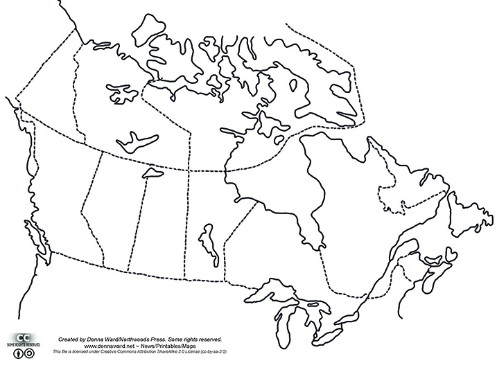
Outline maps are always useful, but take a lot of time to find. Here we have a collection of printable maps for your students. We’ve done the legwork – yours to enjoy.

? Experience the Excitement of the Geography Fair! The Geography Fair is more than an event—it’s a journey around the world! Students choose a topic that inspires them, whether it’s a country, province, region, or a fascinating global theme. From hands-on research to creative displays, they dive deep into discovery and bring geography to life…

Rocky Mountain House National Historic Site is one of Canada’s fine examples of how the fur trade helped shape the nation. Enjoy exhibits, walk through archaeological remains of the four forts, get hands on experience with Métis skills of the fur trade. Stay awhile and camp in Indigenous trapper’s tents and tipis. Rocky Mountain House…
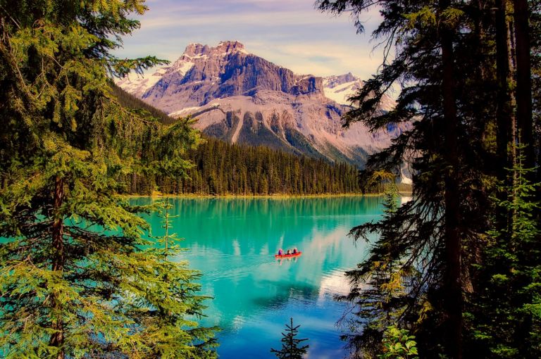
Explore the Yukon with the adventure, mystery and story it brings! The Yukon, Canada’s northwest territory, is wild, mountainous and still a vast underpopulated wilderness. Canada’s highest peak, Mount Logan, glaciers, wild ice aqua rivers and trails are part of the mystique of this storied land. Dawson City Sourdough The Dawson City Historical Complex commemorates…
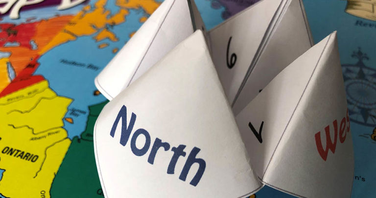
Have fun with an old-fashioned paper game and review Canadian bodies of water with the free printable! Try making up your own questions with the blank Cootie Catcher template. Learn the names of the oceans with the help of the videos below. Related Products
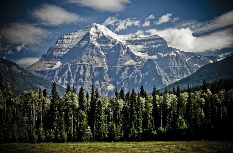
British Columbia is the westernmost province of Canada, located between the Pacific Ocean and the Rocky Mountains. It has the mildest weather of all the provinces in Canada, often with very rainy winters. The landscape is stunning, from coastal beaches to mountain vistas. In 1866, Vancouver Island became part of the colony of British Columbia,…

From west to east, Canada’s six different time zones are: Pacific, Mountain, Central, Eastern, Atlantic and Newfoundland. Up to the 1880s, cities and towns used their own local solar time which could vary from place to place. That was fine when people didn’t travel far, but once the railways allowed quicker travel over long distances,…
Join our newsletter to be the first to get new updates, freebies, and our PDF catalogue to browse.